All images / illustration
Rwanda country detailed editable map
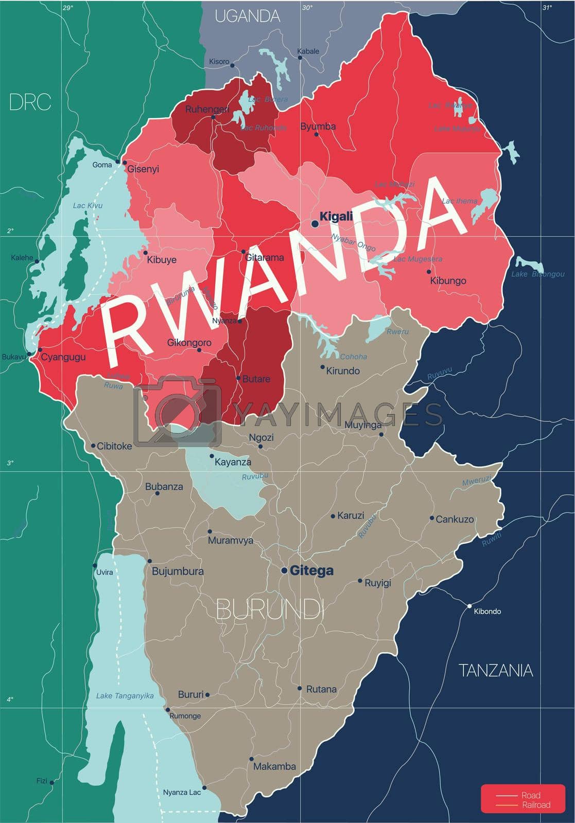
Rwanda country detailed editable map with regions cities and towns, roads and railways, geographic sites. Vector EPS-10 file
-
License:
Royalty Free License.
The license type determines how you can use this image.

Std. Ext. Print / Editorial Graphic Design Web Design Social Media Edit & Modify Resale Items 1 Unlimited Runs - Please see licensing information by clicking here
Vector
All images / illustration
Size Selection:
You can re-download any size after the purchase.
Want to Download? Subscribe and
Gain Access to Millions of Stock Assets:
Keywords
-
geography
illustration
map
country
atlas
africa
cartography
travel
vector
border
abstract
congo
capital
rwanda
tanzania
city
kigali
political
uganda
state
earth
nation
lake
road
chart
editable
burundi
republic
administrative
east
outline
contour
national
flag
commonwealth
land
symbol
territory
surrounding
region
district
province
akagera
kivu
rusizi
rwandan
park
transport
akanyaru
nyabarongo