All images / illustration
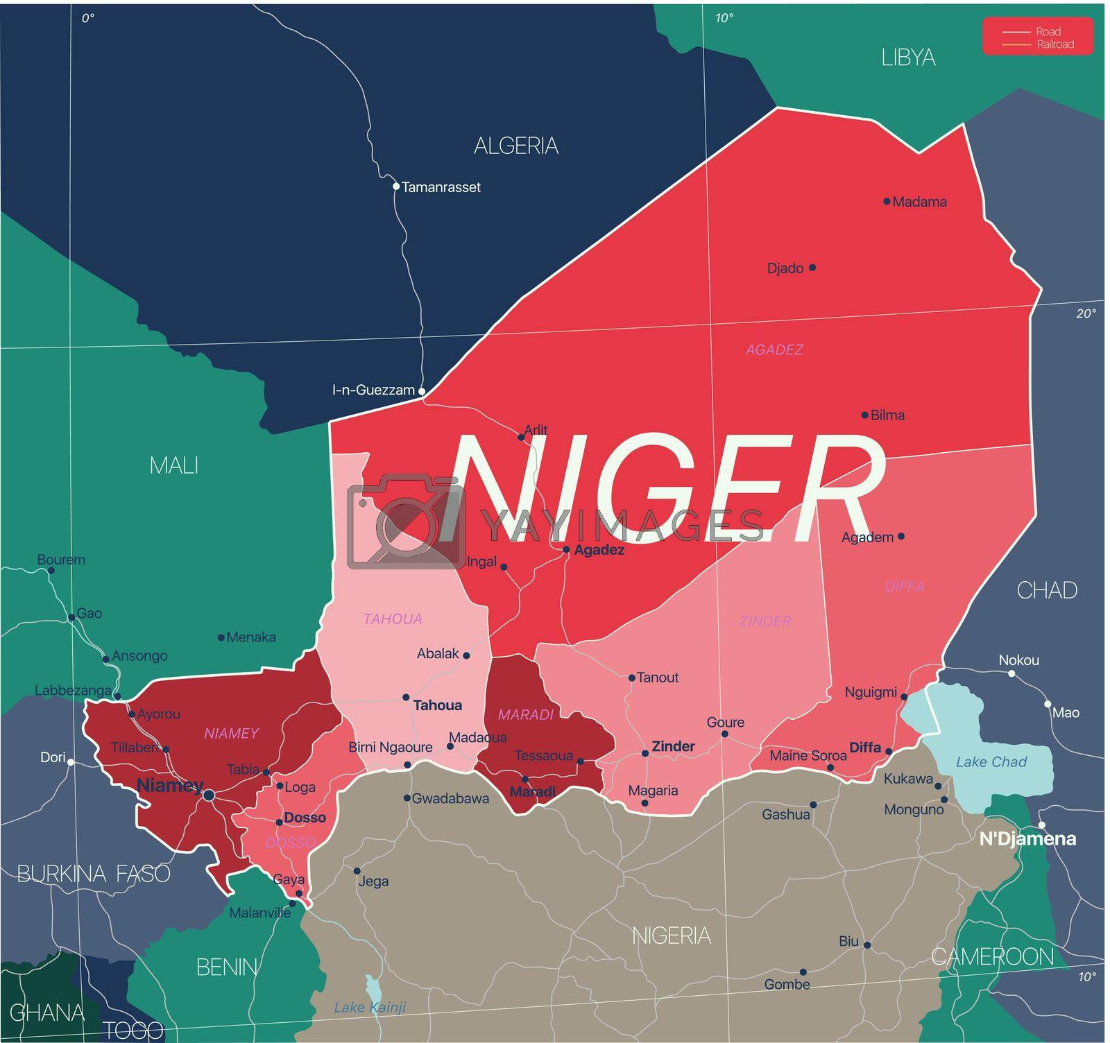
Niger country detailed editable map
Niger country detailed editable map with regions cities and towns, roads and railways, geographic sites. Vector EPS-10 file
-
License:
Royalty Free License.
The license type determines how you can use this image.

Std. Ext. Print / Editorial Graphic Design Web Design Social Media Edit & Modify Resale Items 1 Unlimited Runs - Please see licensing information by clicking here
Vector
All images / illustration
Size Selection:
You can re-download any size after the purchase.
Want to Download? Subscribe and
Gain Access to Millions of Stock Assets:
Keywords
-
geography
illustration
map
country
atlas
africa
cartography
nigeria
travel
algeria
vector
border
benin
ocean
chad
cameroon
mali
niger
political
sahara
world
graphic
state
earth
continent
desert
nation
burkina faso
geographic
south
african
administrative
design
detailed
silhouette
togo
western
united
wallpaper
background
transportation
complete
province
global
niamey
world map
signs
central
eastern
shape