All images / illustration
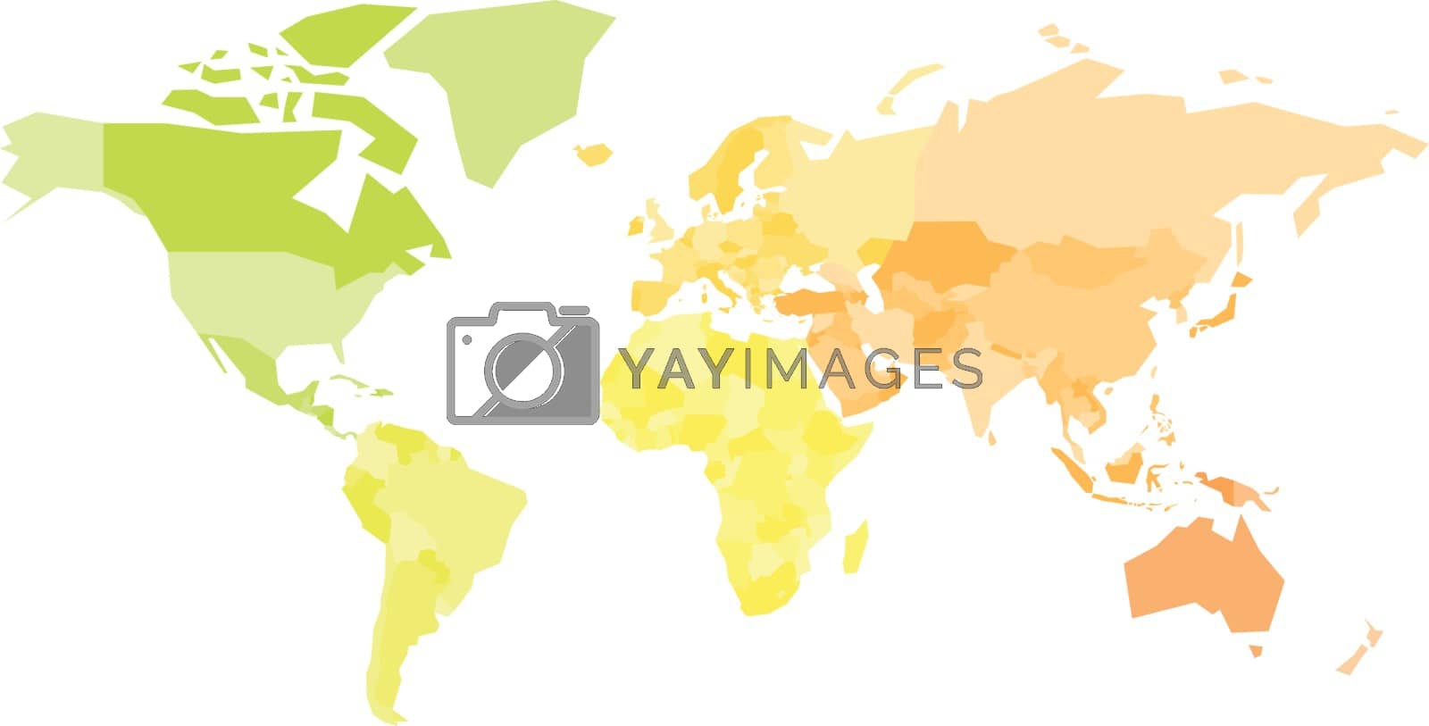
Multicolored map of World. Simplified political map with national borders of countires. Colorful vector illustration in warm colors
Multicolored map of World. Simplified political map with national borders of countires. Colorful vector illustration in warm colors.
-
License:
Royalty Free License.
The license type determines how you can use this image.

Std. Ext. Print / Editorial Graphic Design Web Design Social Media Edit & Modify Resale Items 1 Unlimited Runs - Please see licensing information by clicking here
Vector
All images / illustration
Size Selection:
You can re-download any size after the purchase.
Want to Download? Subscribe and
Gain Access to Millions of Stock Assets:
Keywords
-
map
world
vector
europe
illustration
asia
earth
africa
geography
global
continent
cartography
country
australia
travel
design
multicolored
north
business
usa
abstract
america
silhouette
political
atlas
wallpaper
graphic
national
background
spectral
south
land
colorful
simple
isolated
simplified
education
colored
continents
worldwide
flat
border
state
school
spectrum
world map
warm
yellow
orange
green