All images / illustration
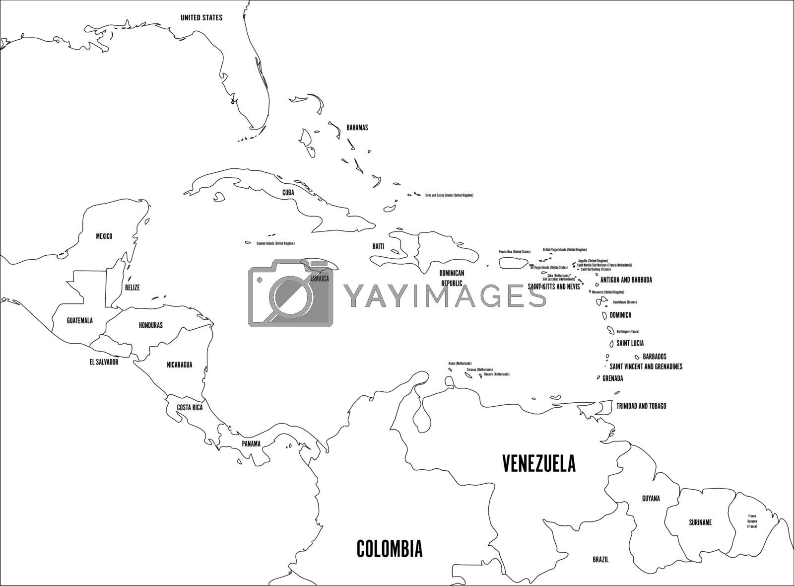
Central America and Carribean states political map. Black outline borders with black country names labels. Simple flat vector illustration
Central America and Carribean states political map. Black outline borders with black country names labels. Simple flat vector illustration.
-
License:
Royalty Free License.
The license type determines how you can use this image.

Std. Ext. Print / Editorial Graphic Design Web Design Social Media Edit & Modify Resale Items 1 Unlimited Runs - Please see licensing information by clicking here
Vector
All images / illustration
Size Selection:
You can re-download any size after the purchase.
Want to Download? Subscribe and
Gain Access to Millions of Stock Assets:
Keywords
-
map
cartography
geography
jamaica
honduras
panama
belize
guatemala
country
nicaragua
sea
globe
political
central
america
atlas
bahamas
caribbean
cuba
land
state
vector
area
border
island
territory
mexico
south
cayman
colombia
guantanamo
ocean
antilles
borders
countries
region
costa rica
el salvador
sovereign
dependent
central america
caribbean map
label
name
outline
stroke
contour
wireframe
white
black